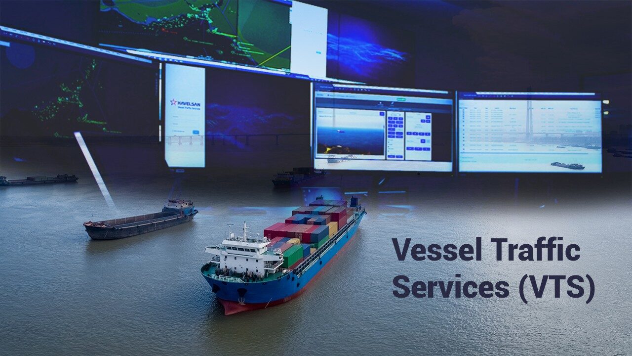
Vessel Traffic Services (VTS) have become increasingly crucial in contributing to safety and maritime traffic efficiency. HAVELSAN has a web-based cloud technology system that can run on premise or cloud, providing a solution by minimizing costs and improving accessibility, performance, and security. The system is capable of integrating operational sensors. Operational sensors maybe Radars, Electro Optic Systems, Direction Finders, AIS Receivers, Meteorological Sensors, Oceanographic Sensors, or any other sensor which is operationally needed. HAVELSAN VTS solution can process a large amount of data produced by all the participants of the maritime environment. The system can use the data to predict and prevent accidents, detect environmental pollution and marine traffic anomalies, and analyze traffic in real time.
HAVELSAN has a coastal surveillance and marine traffic management solution in which all related sensors and connected agencies can be integrated, enabling the exchange of information for a more reliable outcome with its easy integration interface architecture.
The radar and AIS tracks are combined by fusion & correlation modules and shown on the operational map. System tracks are linked automatically with stored vessel data. Vessel Database Management (VDM) module manages information about vessels, vessel groups, crew, port, voyages, cargo types, etc. The operator can add, delete, update, and query all this information from the vessel database. The operator will be able to set the time of the vessel records manually. The operator will take detailed vessel and crew reports by using reporting functions.
The system will supply planning and management of missions, planning of the route, number of platforms, etc. It will also include the location of stations, hospitals, and logistic support places (like oil, food, and water). During mission planning for the intervention of an incident, the most suitable platform will be calculated and proposed to the system operators for the mission. Mission areas will be displayed on the geographical map layer during the planning. The system will supply tools for planning routes using waypoints and route legs. During the planning of routes, the kinematic limits of the platform will be controlled. In case of exceeding or violating these limits, the system warns the operator by using advanced alarm management functionality. The route-time diagram for the probable course of the ships assigned to the route is calculated and displayed with the encounter points to the operator.
Notification management component provides functionalities to create rules and thresholds and get visual & audio alerts. The system will allow the user to define rules about operational objects, set threshold values, defining areas both for track management and operational objects. For each update, the system will check the update. If any predefined criteria are met, an alert is triggered so the user can be alerted visually and with audio based on his preferences. Published notifications are filtered according to the user rights and sent to users with the privilege to display.
Search & Rescue (SAR) operators can define the search and rescue region, can divide this region into areas, prioritize these areas, assign task organization elements to these areas and share this information with the relevant units. Various search and rescue patterns and coverage volume will be supported to display and control the SAR execution activities.
Tactical Record and Replay (TRR) module provides the system with data recording and replaying functionalities. TRR records the ship movements (Radar Tracks, AIS Tracks, and Correlated System Tracks), screen records, voice communication, EO and Radar video, meteorological data, sensor status, and notification records for future replay.
Historical data is available for regular sea traffic activities, and methods mentioned above can be supported by Artificial Intelligence (AI) based algorithms to detect marine traffic anomalies. This anomaly detection will also filter down the number of “dark vessels” to be investigated and focused on.
Risk assessment and decision support aids, as part of HAVELSAN VTS, will enable the user to make a risk assessment and create rule-based alarms, warnings, or actions to assist the users further in utilizing the knowledge-based features of VTS in classifying or identifying the ship.
Currently, there are nearly 500 VTS systems in almost 50 countries. Given the coverage of those systems and the number of their sensors (Radar, EOS, AIS, RDF, etc.), HAVELSAN VTS installed on the Turkish Straits is one of the world's largest VTS systems.
It is estimated envisaged that the renewed and upgraded system will help improve the existing vessel traffic services in the Turkish Straits rise to a higher level in terms of quality and quantity and boost the safety and security of the navigation, life, property, and environment, which are the main objectives of navigation, by namely safety of life, property, and environment along with safer and faster rapid vessel traffic.
Developed by HAVELSAN engineers, HAVELSAN VTS's open-source software architecture, expandable modular structure, customizable modules & algorithms, advanced fusion & correlation technology, and operational sustainability with HAVELSAN's assurance offer a practical solution and a unique user experience in territories where the vessel activity traffic is congested heavily. HAVELSAN VTS awaits to serve both domestic and global users of the e-maritime community by integrating cutting-edge state-of-the-art technologies into its own body.